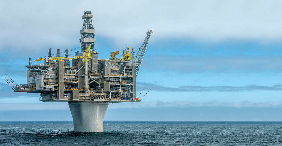
Quebec Oil Drilling Co Canada
Developed a 3D terrain modeling and GIS system for Quebec Oil Drilling Co., Canada, designed to support exploration, planning, and operational decision-making with advanced geospatial insights
Key Features
✓
3D Terrain Modeling: Accurate visualization of drilling sites and surrounding landscapes
✓
Geographic Information System (GIS): Integration of spatial data for mapping, analysis, and planning
✓
Resource Mapping: Identification and management of potential drilling zones
✓
Environmental Analysis: Assessment of terrain impact to support sustainable operations
✓
Data Integration: Compatibility with geological and geophysical datasets for comprehensive analysis